AS TIME GOES BY, MEMORIES FADE, BUT WE WILL NEVER FORGET.
I have lived in Colorado for a long time and have even been in this specific area many times. However, I had never seen or heard of this site. I stumbled upon a plane crash completely by accident. Furthermore, it was a very significant crash because of the tragic loss of life. The plane was carrying the starters, coaches, and supporters for the Wichita State University (WSU) Shockers football team.
On October 2, 1970, WSU chartered two Martin 4-0-4 twin engine prop planes from Golden Eagle Aviation to transport the team to Logan, Utah. The Shockers were to play against the Utah State University Aggies the following day. The planes left from Wichita and refueled at Stapleton Airport. Upon departure from Denver, one plane headed north to cross the Rockies via the planned route across southern Wyoming.
The second plane deviated from the flight plan and headed west along I-70 to take a scenic sightseeing tour of the mountains on their way to Utah. As the plane ascended, the pilots quickly found themselves in trouble. The overloaded plane couldn’t gain altitude fast enough to rise over the Continental Divide, and the canyon was too narrow to turn around. The plane crashed into the side of Mt. Trelease near present-day Eisenhower Tunnel. In 1970, the tunnel was still under construction and motorists and workers from the tunnel were the first to get to the crash.
Of the 40 people onboard, most survived the initial impact, including Copilot Ronald Skipper. Eleven were able to get out, then the plane burst into flames. Witnesses reported two explosions. Twenty-nine people died at the scene, and two others died from their injuries while under medical care.
Because of the high elevation and inaccessibility to the site, the debris field from the plane is still there. Getting to it is easy and is accessible in summer and fall.
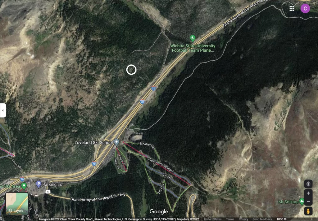
You can find the site by searching for Loveland Pass in a map app. I used Google Maps and marked the site with the white circle.
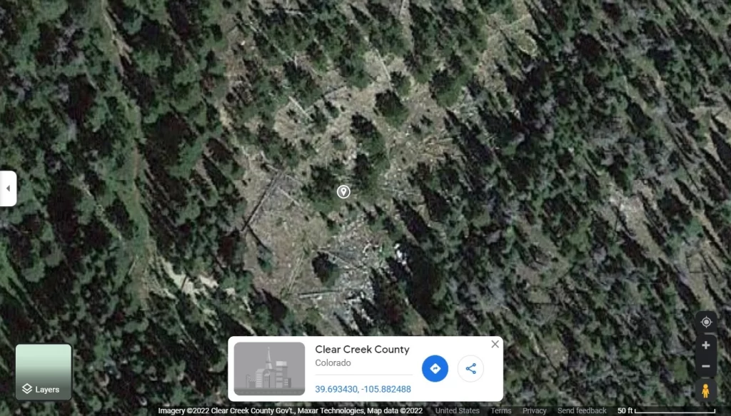
In Google Maps, you can zoom in and see the debris, if you know where to look. See the coordinates above. 39.693430, -105.882488.
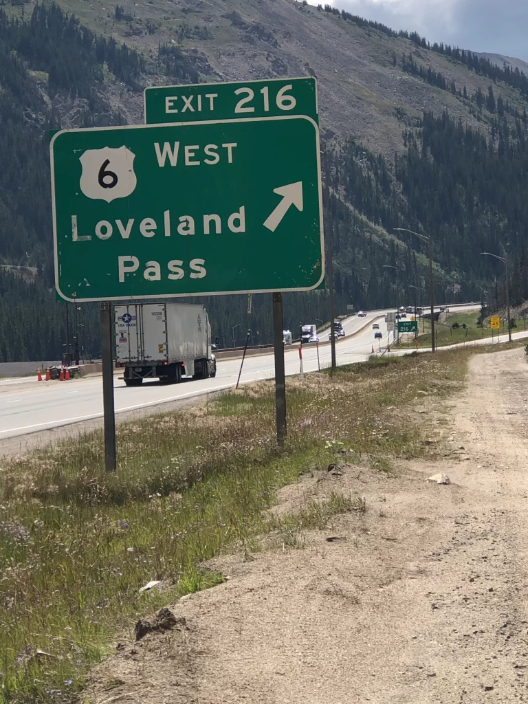
To get there, use exit 216 for Highway 6. You can access this site from east or westbound lanes. Turn onto the dirt road at the end of the westbound exit (pictured).

Park on the road near the forestry access gate.
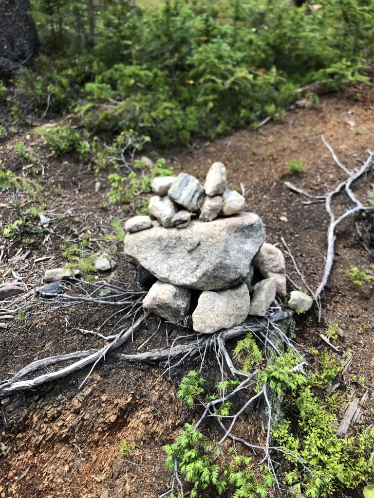
Walk up the road until you see the trailhead on the left. The trailhead and a left fork in the trail are clearly marked with stone cairns. If you pass a fenced storage area, then you’ve gone too far.
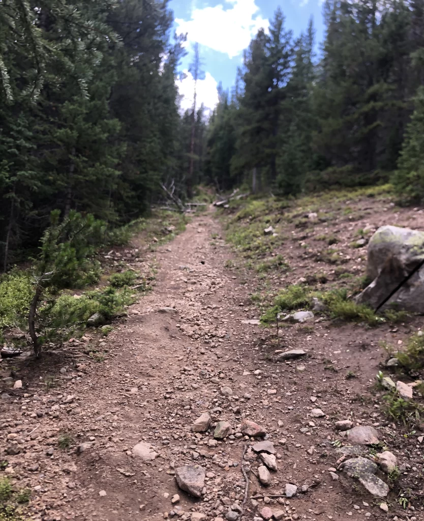
Here it gets steep, but the hike isn’t long. You will have to climb over multiple fallen trees.
Here are a few of the images that I captured.
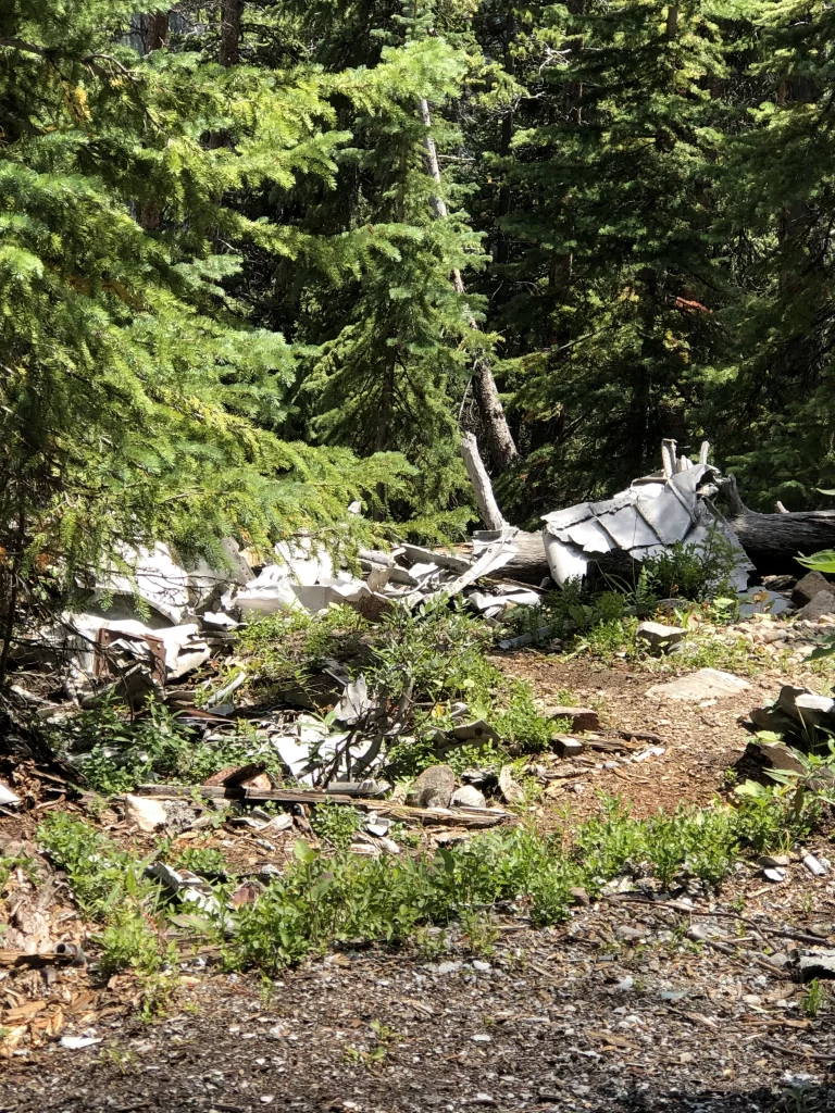
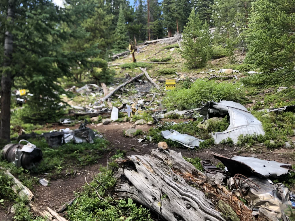
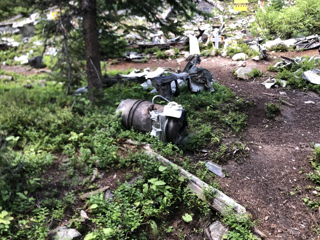
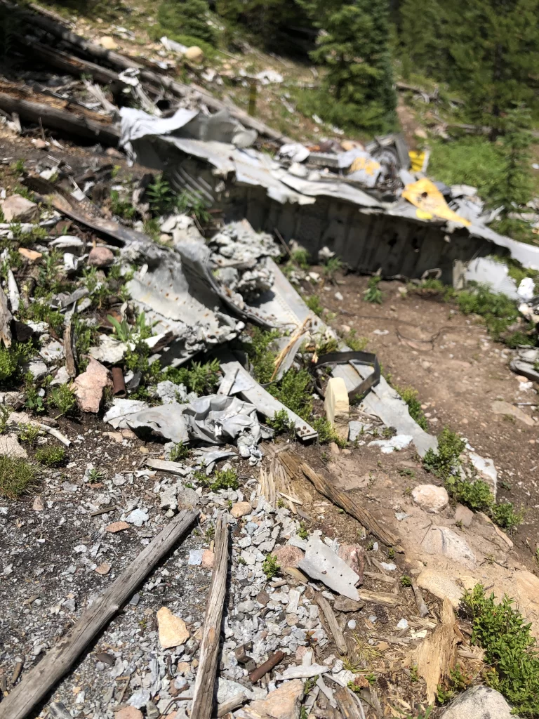
Here you can see large pieces of melted aluminum left from the flames.
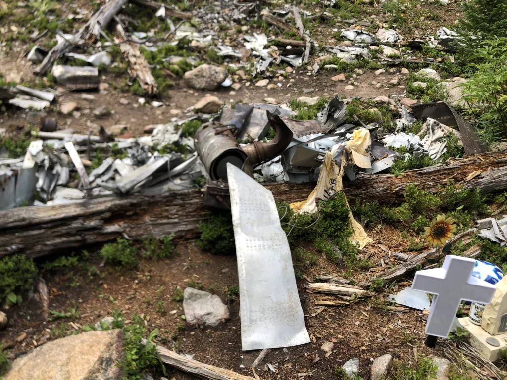
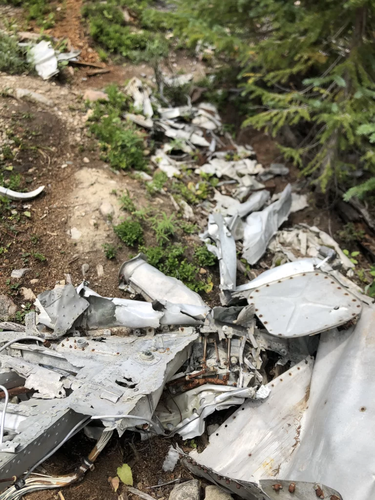
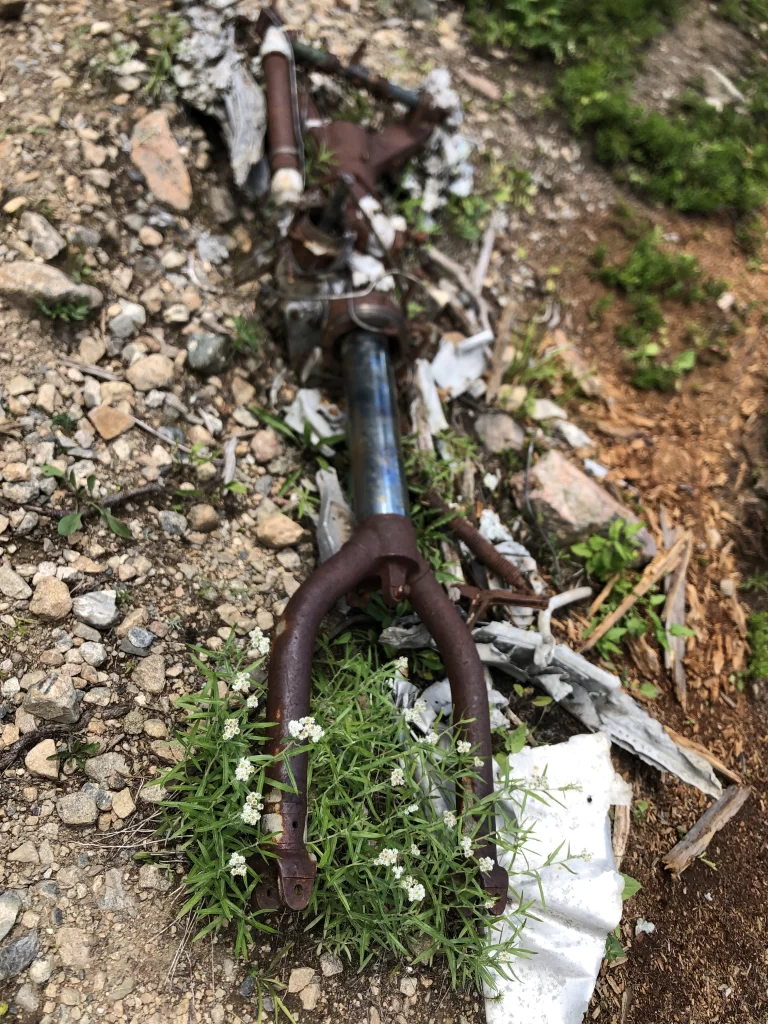

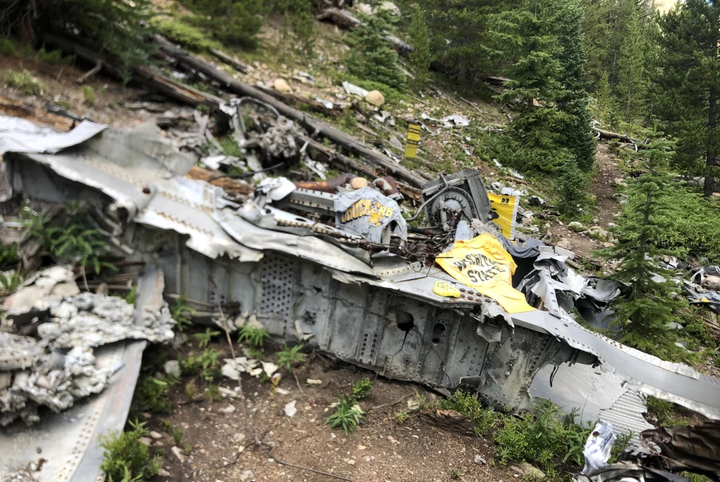
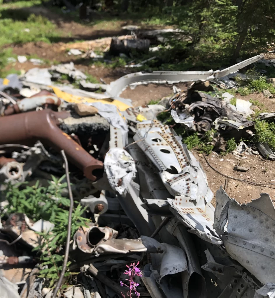
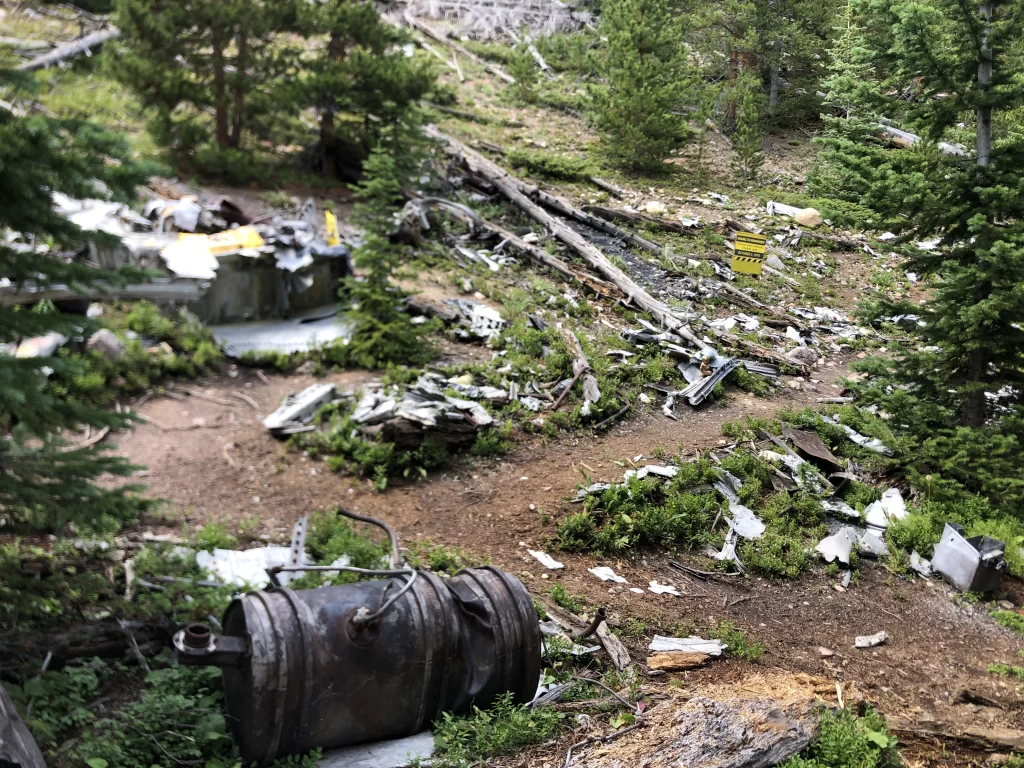
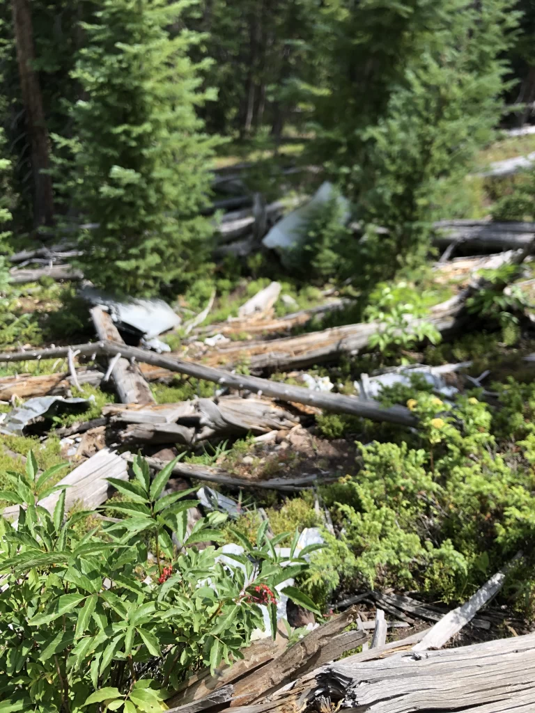
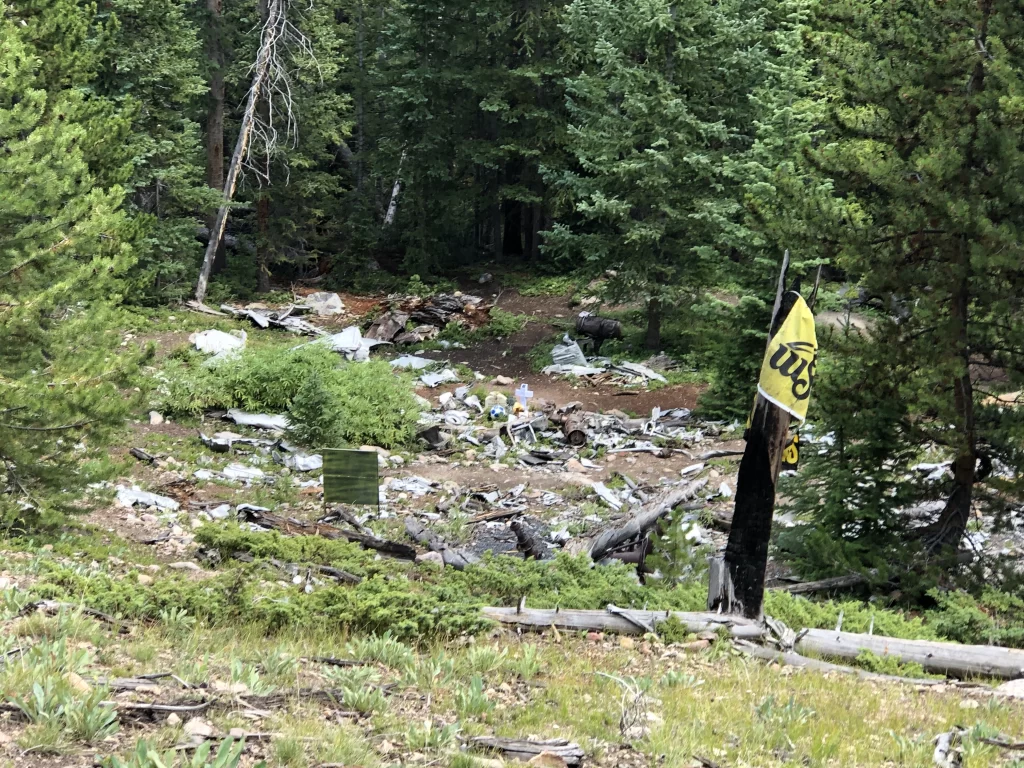
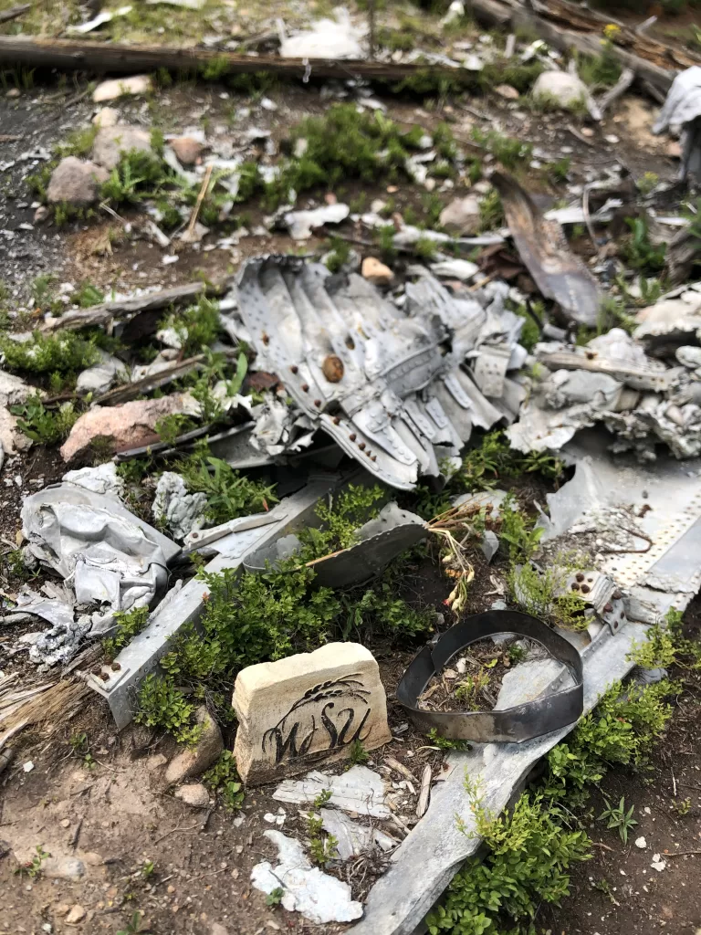
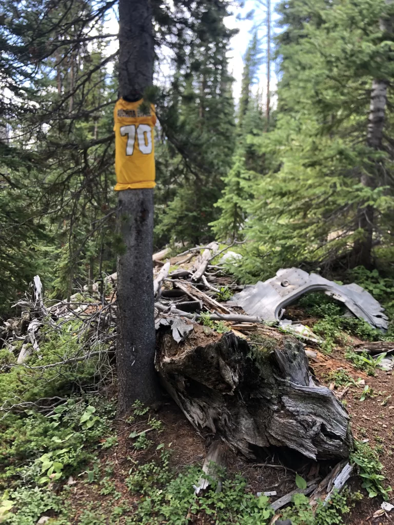
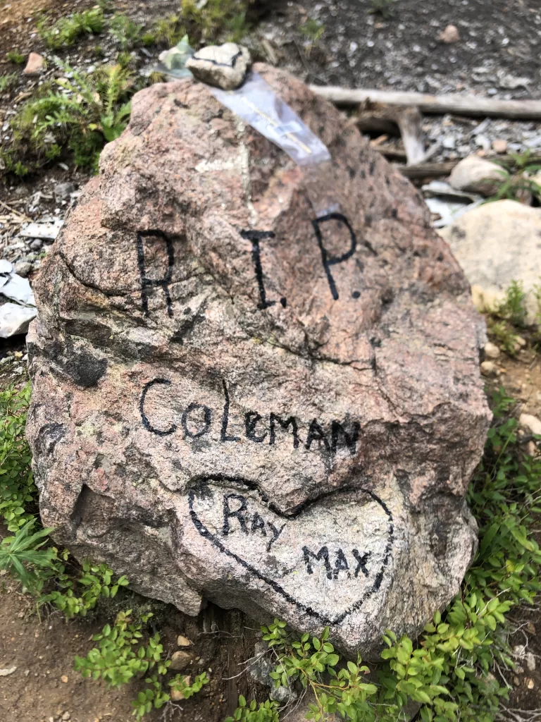
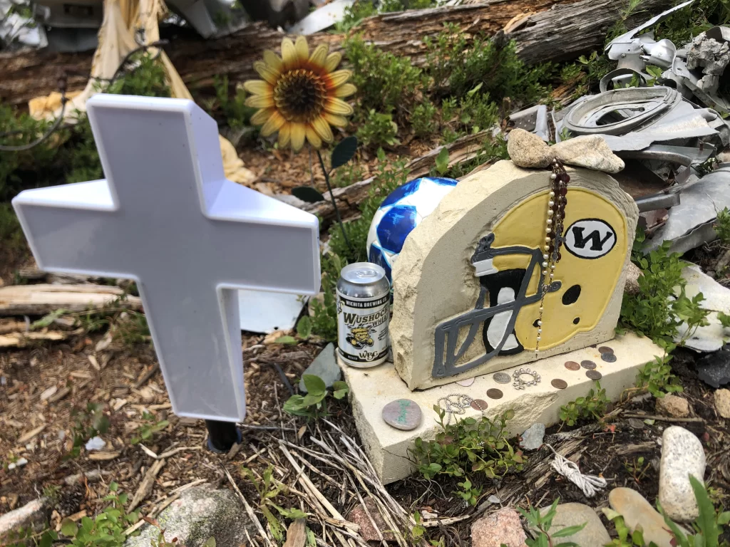
This site is a memorial, so be respectful while there and please only take pictures.
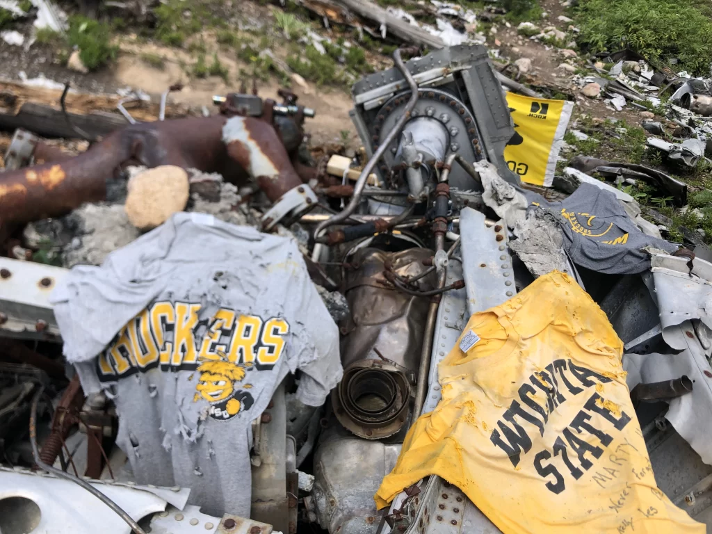


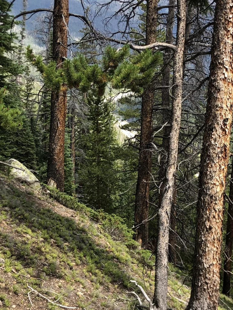
Coming back down, you’ll be treated to some amazing mountain views.
There is a permanent memorial to the 31 people who perished beside the north shoulder of I-70 at Dry Gulch, just before exit 216 for Highway 6 West.
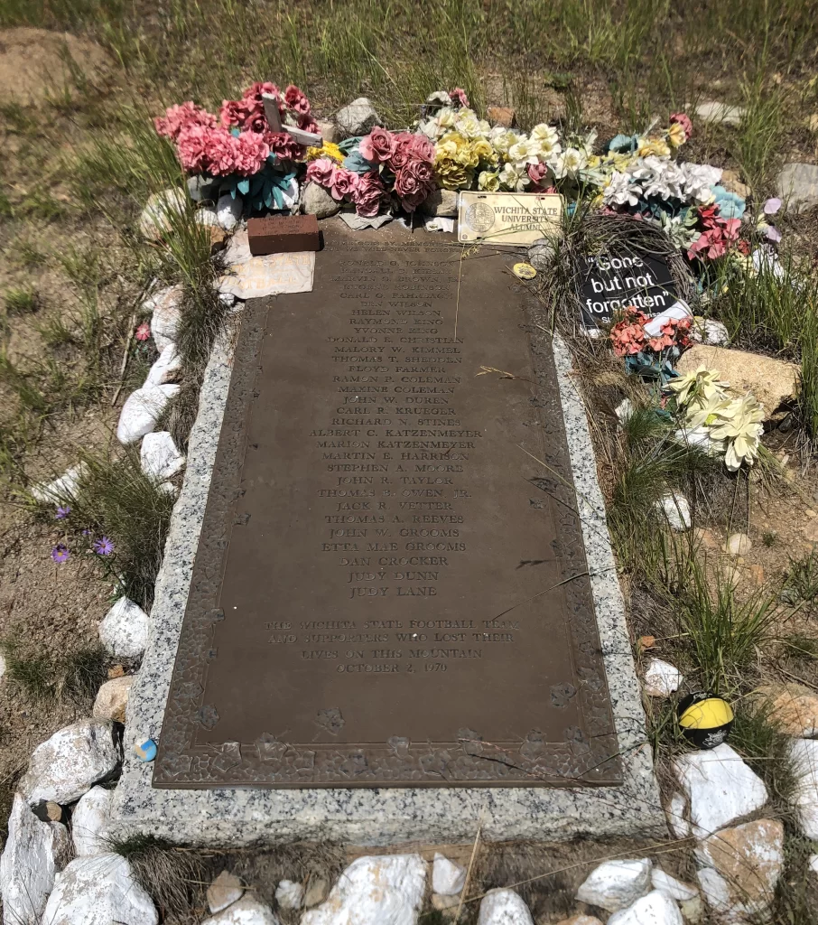
The inscription states,
AS TIME GOES BY, MEMORIES FADE, BUT WE WILL NEVER FORGET.
Ronald G. Johnson, Randall B. Kiesau, Marvin G. Brown, Jr., Eugene Robinson, Carl G. Fahrbach, Ben Wilson, Helen Wilson, Raymond King, Yvonne King, Donald E. Christian, Malory W. Kimmel, Thomas T. Shedden, Floyd Farmer, Ramon P. Coleman, Maxine Coleman, John W. Duren, Carl R. Krueger, Richard N. Stines, Albert C. Katzenmeyer, Marion Katzenmeyer, Martin E. Harrison, Stephen A. Moore, John R. Taylor, Thomas B. Owen, Jr., Jack R. Vetter, Thomas A. Reeves, John W. Grooms, Etta Mae Grooms, Dan Crocker, Judy Dunn, and Judy Lane
THE WICHITA STATE FOOTBALL TEAM
AND SUPPORTERS WHO LOST THEIR
LIVES ON THIS MOUNTAIN
OCTOBER 2, 1970
An online memorial, images, and details on the deceased can be found on the Wichita State University goshockers.com site: Remembering the 31 – Wichita State Athletics (goshockers.com)
During investigation, the National Transportation Safety Board (NTSB) determined the accident was caused by several factors. The plane was overloaded and didn’t have enough power to gain the altitude needed to quickly climb out of the canyon, the plane could not turn around in the narrow canyon, the pilot and co-pilot were unfamiliar with the aircraft, and they failed to properly plan for the flight—flying at 11,000 feet into the canyon that ends at the Continental Divide at 12,700 feet.
You may not have heard of this crash. Just six weeks later, the WSU crash was overshadowed by the crash of the Marshall University Thundering Herd football team of Huntington, West Virginia. On November 14, 1970, while returning from a game against East Carolina University, their charter jet crashed on approach to the Tri-State Airport in Kenova, West Virginia and killed 75 passengers, including 45 players and coaches, 25 boosters, and five crew members.
There are many pictures and articles online about the Wichita State University crash, and so I won’t go into any more detail. However, you can find a listing of some articles on the bottom of the goshockers.com online memorial page.
I would also encourage you to explore on your own. This is how I stumbled across this crash site completely by accident. I was browsing online, and I found a website called Plane Crash Map. I looked for crashes near me and found this one. I had to see it and hiked to the site on August 18, 2022. Before exploring, I also researched and learned about the Wichita State University Shockers football team, and it made the journey all the more meaningful.
If you’re not in Colorado, you can learn more online or explore sites near you on Plane Crash Map. The site, created by Lee Baker, aggregates data from multiple sources including the NTSB, Aviation Safety Network, Civil Air Patrol databases, and other sources. It contains an interactive map and data on each crash, such as if the plane was civilian or military, crash site coordinates or nearest city for location, date, tail letters, type of aircraft, and additional details. Descriptions also report if there is still debris or if the debris was removed.
Now get out and explore and see what’s around you. You never know what you might find.


